Investigation Of Landslide Zones With Geoelectric Methods For Disaster Mitigation In Pamekasan
- MUHAMMAD DARRIN ZUHRI, S.Pd., M.Pd. 2017 PENDIDIKAN BAHASA INGGRIS Rp. 25,000,000,-
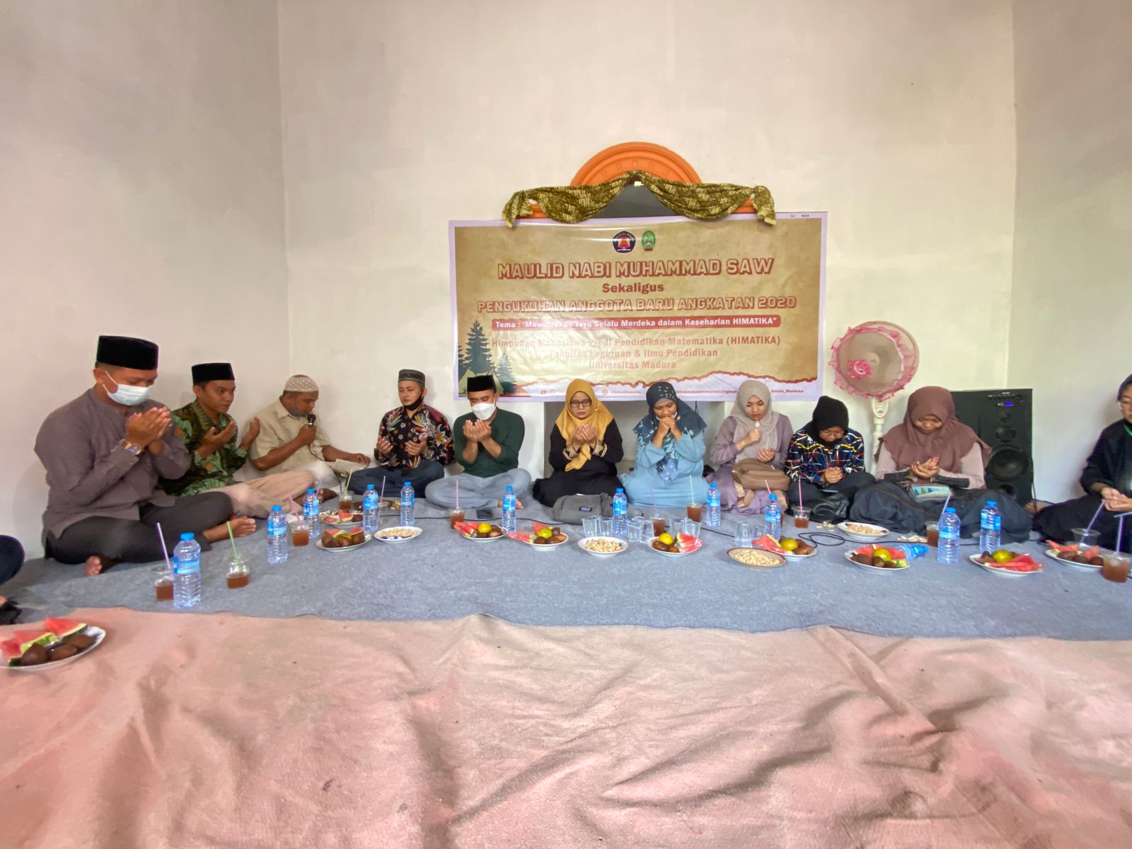
Deskripsi: Madura is one of the islands in Indonesia. This island had a landslide in 2016. The occurrence of this landslide resulted in the Madura community being mentally and financially burdened. The results of this study were that the soil layer consists of six types of soil, namely clay, clay, sandstone, sandstone with clay stones, quartz and limestone. Crossing types of clay and sandstone was the top layer with an average thickness of ± 1.2 m-6 m. quartz and limestone layers were bed rock rocks that were in depths of more than 10 m. While the slip plane was a field that becomes the basis of moving the ground mass. The soil layer which is the slip plane was clay and sandstone with slope 8 0 -25 0 . This soil layer has a low resistivity with a depth of ± 9.5 m - 11.5 m. The higher the slope of a layer, the faster the time needed for the avalanche to occur. For the evacuation route the batumarmar was heading north because the landslide direction was heading west and east, the springs were heading eastward because the landslide direction was heading west, proppo was heading north because the landslide direction was heading north to the east and south to the west, go east and west because the landslide was heading west and east. The results of the Community outreach on our research were the increasing readiness for landslides
Keyword: Landslide, geoelectric, disaster mitigation, Pamekasan
File: Klik Untuk Donwload


-

PPG Universitas Madura Gelar Rapat Penyamaan Persepsi Persia
-

Prodi Pendidikan Matematika FKIP Unira Mantapkan Sinergi Aka
-
Prodi Pendidikan Bahasa Indonesia FKIP Unira Perkuat Kolabor
-
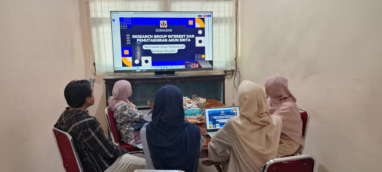
Dosen Pendidikan Bahasa Inggris FKIP Unira Mantapkan Langkah
-
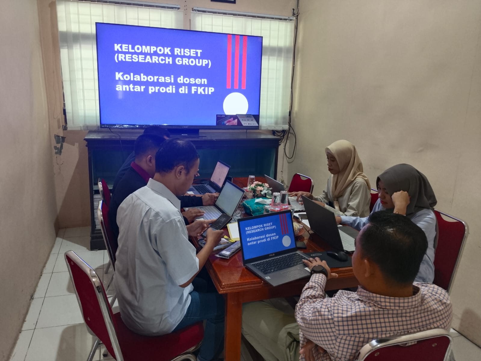
FKIP Universitas Madura Mantapkan Arah Riset Dan Pengabdian